
Property Mapping & GeoPoint Management
Define property boundaries, place monitoring GeoPoints, and import spatial data. Use preset geo-location collections to accelerate your ecological verification setup.
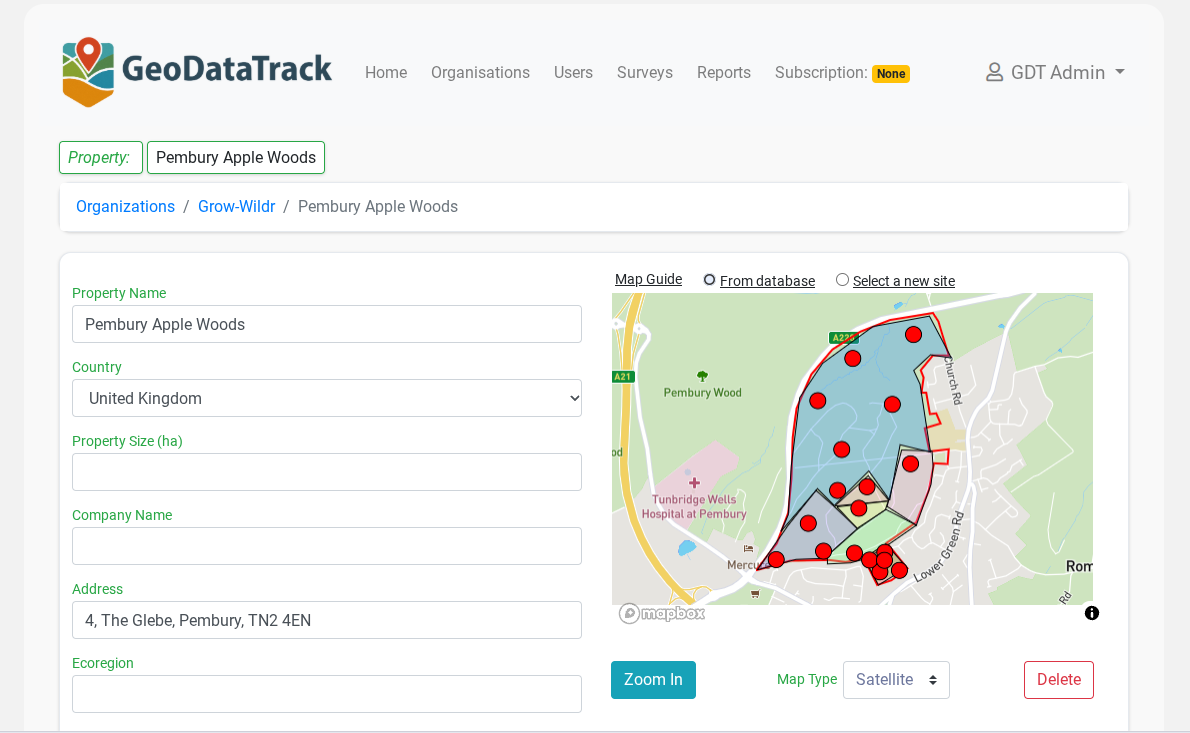
Complete Property Mapping for Verification
Interactive Boundary Mapping
Draw and edit property boundaries directly on satellite imagery. Define monitoring areas within properties.
- Polygon drawing with vertex editing
- Snap-to-boundary alignment
- Area calculation in hectares
- Multi-property management
GeoPoint Placement
Place precise monitoring locations that sync directly to surveyor mobile devices for field collection.
- GPS coordinate entry or click-to-place
- Bulk GeoPoint import from CSV
- Custom labels and metadata
- Immutable geotags on save
Data Import & Export
Import existing spatial data and export verification-ready maps and datasets.
- GeoJSON, KML, GPX, Shapefile support
- Paste-to-import for GeoJSON
- GIS-compatible export formats
- Audit-ready map snapshots
Ready to Map Your Properties?
Set up your verification program in the Web Management Hub. Define properties, place GeoPoints, and deploy surveyors—all from one platform.