Professional Ecological Verification Made Affordable
GeoDataTrack delivers field data collection and ecological monitoring at a fraction of enterprise platform costs—offline-ready and practitioner-focused.
Enterprise verification platforms weren't built for independent practitioners.
The External Problem
They charge thousands per property, require constant connectivity, and lock your data into proprietary formats.
The Internal Frustration
You need professional tools to verify your work, but enterprise pricing puts them out of reach.
The Real Issue
Verification technology should be accessible and affordable for all practitioners.
Every year verification remains unaffordable, regenerative practices go unmeasured—and funders move on. Professional verification shouldn't require enterprise budgets.
We Understand
"We've spent years in the field running EOV assessments. We know the frustration of losing data because you hit a connectivity dead zone. We built GeoDataTrack because verification tools should be affordable and serve practitioners in the field."— The WeCology Team
Trusted By
Your Path to Verified Regeneration
Set Up Properties
Define your monitoring areas in the web hub. Create organizations, properties, and GeoPoints—map boundaries interactively, import spatial data, or use preset geo-location collections. Your verification program takes shape.
Design Your Data Collection
Build custom forms for any data requirement alongside EOV protocols. Track biodiversity, soil health, livestock metrics—whatever your project demands. Integrate 3rd party instrument data via API for bespoke requirements.
Deploy Surveyors
Invite your team. They sync property data to the offline-ready mobile app—unlimited surveyors, no per-seat fees.
Collect Offline
EOV protocols work anywhere—no signal required. 15 ecological indicators, geotagged photos, automatic EHI scoring.
Sync & Report
Push data when connected. AI assists QA, cutting review time by 80%. Generate verification reports instantly.
Two Powerful Tools, One Platform
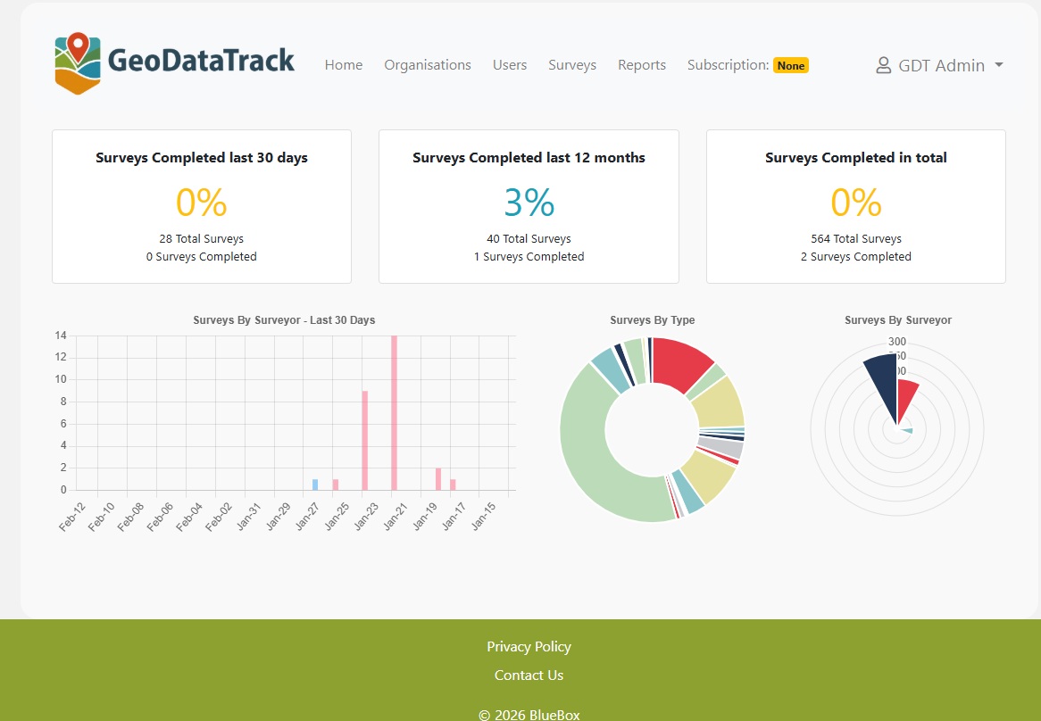
Web Management Hub
Your command center for verification programs
- Dashboard with 30-day and 12-month analytics
- Full hierarchy: Organizations → Properties → Areas → Geolocation Points
- Interactive property mapping with boundary drawing & GeoPoint placement
- Import spatial data and preset geo-location collections
- Automated EOV report generation
- Unlimited surveyor accounts
- AI-assisted QA reducing review time by 80%
- Subscription and billing management
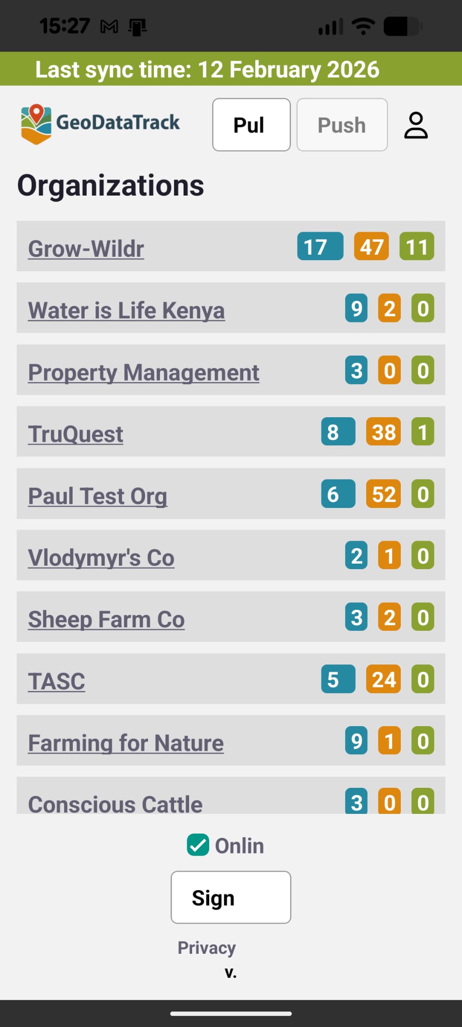
Surveyor Mobile App
⬇ Download AppVersion 2.0.0
Professional field collection that works anywhere
- 100% offline-first with Pull/Push sync
- Integrated compass and metre-based tracking
- EIA route optimisation for efficient surveys
- 15 ecological indicators across 4 ecosystem processes
- Geotagged photo documentation
- Automatic EHI (Ecological Health Index) scoring
Imagine This
You submit verified ecological outcomes for 50 properties this quarter—with a budget that used to cover five.
Your team spends less time on QA and more time in the field where regeneration actually happens.
Your data stays yours—fully exportable and under your control, not locked into proprietary formats.
Regenerative Leaders Use GeoDataTrack
Designed for Accessibility
GeoDataTrack provides professional verification technology at a fraction of enterprise platform costs—from individual consultants to landscape-scale operations.
We believe verification technology should be accessible to everyone—from smallholders worldwide to landscape-scale consultancies.
Learn About Our Story →Get in Touch
Request a test account or book a demo. Fill out the form below and we'll be in touch within 24 hours.
Thank You!
We've received your request and will be in touch within 24 hours. Check your email for next steps.